
$ 96.17
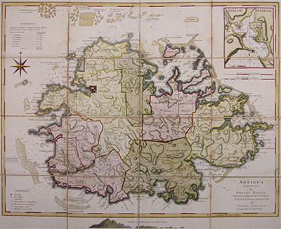
Description Map of Antigua from The West-India Atlas. Surveyed by Robert Baker, Surveyor General of that Island. Engraved and improved by Thomas Jefferys, Geographer to the King. Divided into Parishes with a key at the top left observing the size of each parish in acres. At the top right is a magnified view of English Harbour, showing Freemans bay and a section of land for the use of the Navy. This is a fine art reproduction of a map published 1775.
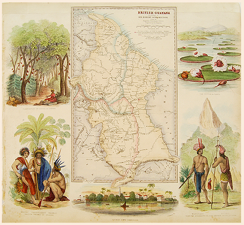 British Guiana, Petermann, c1862
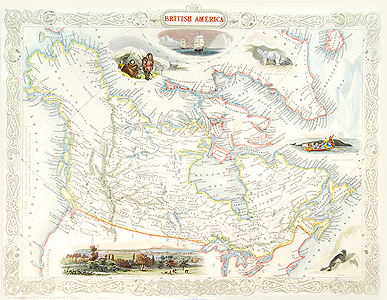 British America, Tallis, 1851
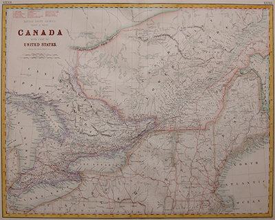 Canada with Part of the United States, Bartholomew, 1862